Bringing Innovation to Reforestation
Carbon Hawk
We are big believers in innovation and have developed our own proprietary classifier, called Carbon Hawk to increase the impact, transparency and efficiency of our reforestation efforts. This allows us to:
1. Accurately classify mangrove forests from other forest types
2. Forecast with precision the location of mangrove forest losses
How Does Carbon Hawk Work?
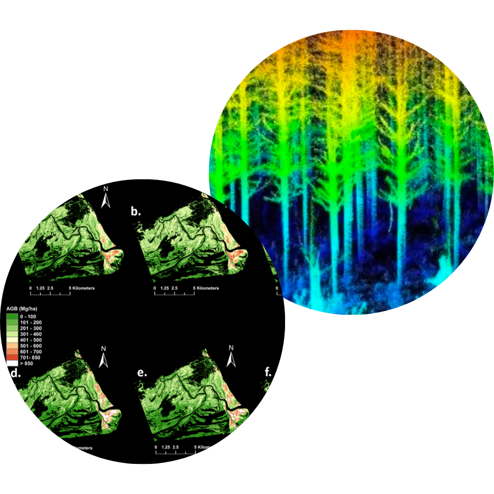
Carbon Hawk is an engine that uses AI to stack 6 layers of datasets to map mangroves with much more accuracy than legacy mangrove maps. These include satellite-based datasets to classify mangroves, such as Landsat 8 (GMFD), Sentinel Data, Hansen and Primary Humid Tropical Forests. It also pulls in additional datasets to get sharper clarity on local conditions, such as Elevation Model, Roads Datasets and Slope.
Carbon Hawk is powered by GEEmap, a python package that is fully interactive with Google Earth Engine as well as IPY-widgets which provide interactive UX. To ensure that the imagery is up-to-date, the Carbon Hawk engine is updated every 16 days. With conventional databases, updates can take up to 2-3 years.
By using multiple parameters from these 7 datasets, Carbon Hawk can precisely detect ‘mangroves at risk’. This means we can now accurately forecast where mangrove losses will occur. This enables us to move quickly to work with the host governments to put in place mitigating programs.